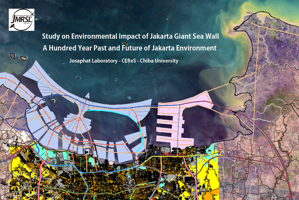
What About The Future of The City ?
Let's begin with the coastal region, North Jakarta
The Future (part one)
Old Maps of Batavia :

Batavia _C._de_Jonghe_(1740) by
MYW_2507, on Flickr
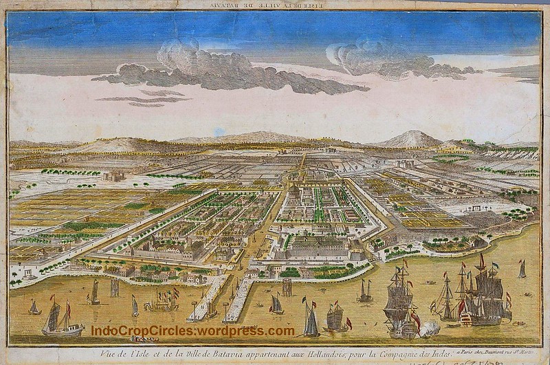
Ville de Batavia, Capital of The Dutch East-Indies in what is now North Jakarta - circa 1780 by
MYW_2507, on Flickr
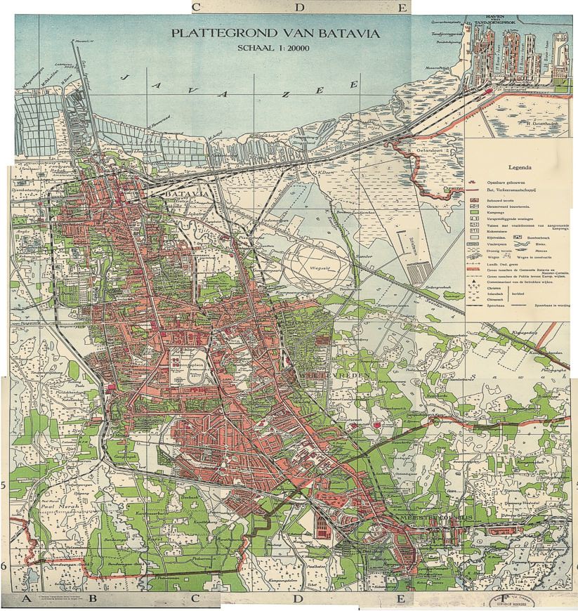
Newer MAP of Batavia (1935) by
MYW_2507, on Flickr
Current Maps of Jakarta :

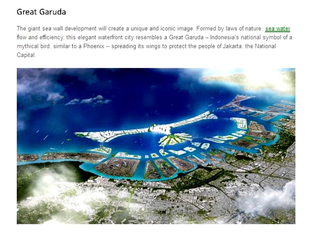
 Future Plan :
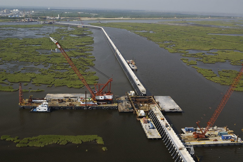

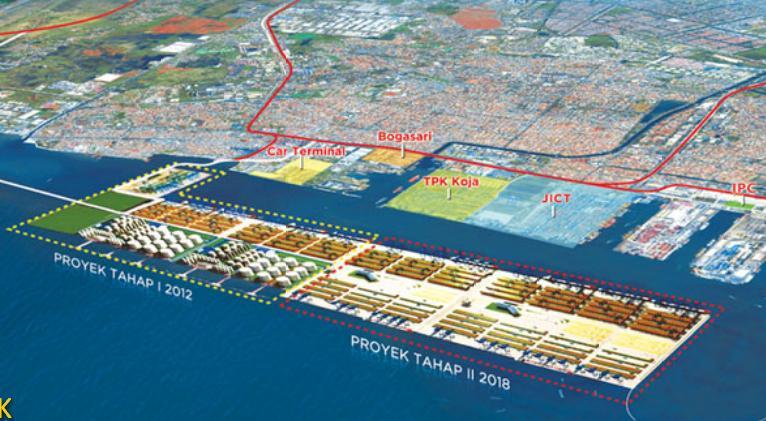
New Port of Tanjung Priuk
Port of Tanjung Priuk Expansion at Container Port Kalibaru by
MYW_2507, on Flickr
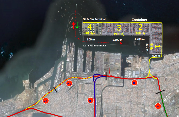
 credit to : KOMPAS
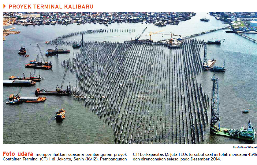
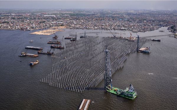
Credit to : BisnisIndonesia - Nurul Hidayat, post by :
MYW_2507, on Flickr